SLIP
Hello!
Welcome to a project I am currently working on, SLIP, which stands for Street Level Image Processing.
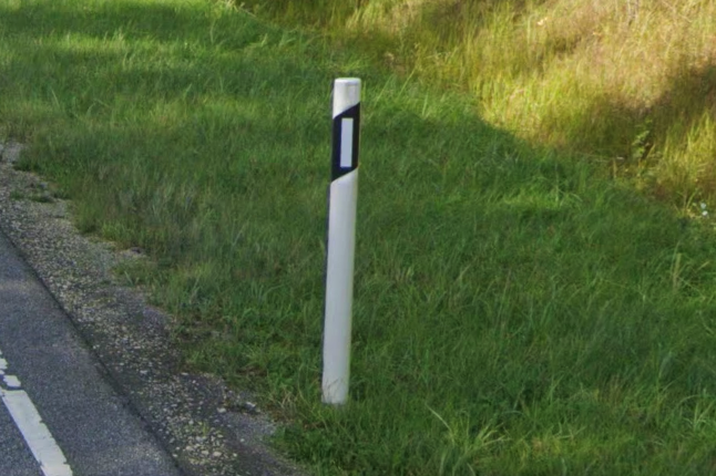
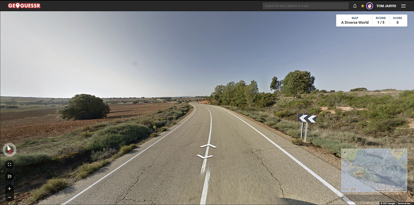
This project focuses on developing a system for Open Source Intelligence (OSINT) gathering through Image Processing Techniques, which I became interested in through the game GeoGuessr. The purpose is to identify geographic locations by analyzing distinctive infrastructure features that vary between regions and countries. The system employs image processing and machine learning techniques to determine the geographical location from often overlooked street-side data. Existing implementations such as GeoSpy or PicartaAI overly rely on large amounts of training data from satalite imagery such as Google Street view, whereas my attempt will begin to understand common streetside patterns as a way of abstracting through a more efficent algorithm.
You can read the design document here